"Arthur" will be passing our Broad Channel by later today as it continues to rapidly move northeastward.
The storm will be centered several hundred miles off our coast so that the only impact we will be experiencing are the rainbands of the approaching system that are over our area now.
Our area should begin drying out sometime around 6:00 p.m. this evening and it looks like the evening's July 4th fireworks displays will be good to go!
Keep in mind that although "Arthur" was not a huge storm, it was still a powerful Category 2 hurricane for a period of time and did cause damage on those land areas it directly impacted.
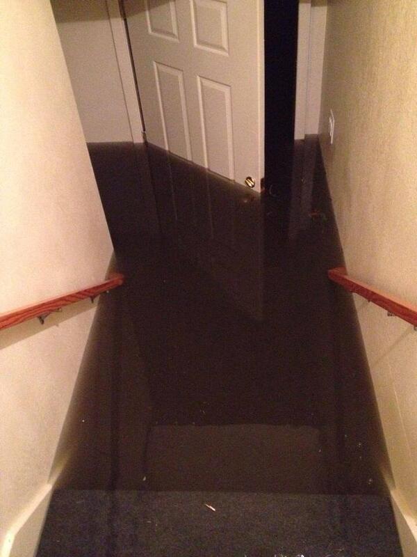
When I was checking Arthur's status early this morning, I received the below picture taken by Sam Walker shortly before 5 am at his residence in the community of Rodanthe-Waves-Salvo on the outer banks of Hatteras, North Carolina as the eye of "Arthur" passed overhead. He was riding out the storm on his second floor.
Sam had been the following the updates on this site and emailed me stating, "It's not the worst we've been through down here, but Artie still packed a punch! Hope the forecast track holds true and keeps him far away from you and yours."

Look familiar?
We were lucky.
Not everyone was.
P.S.: I have been in touch with Sam and he reports Arthur has left, the water is down, and he is doing fine.
This will serve as the final update on "Arthur", the first Atlantic Basin Hurricane of the 2014 season.
We were lucky.
Not everyone was.
P.S.: I have been in touch with Sam and he reports Arthur has left, the water is down, and he is doing fine.
This will serve as the final update on "Arthur", the first Atlantic Basin Hurricane of the 2014 season.
No comments:
Post a Comment